 In the CityIn the City
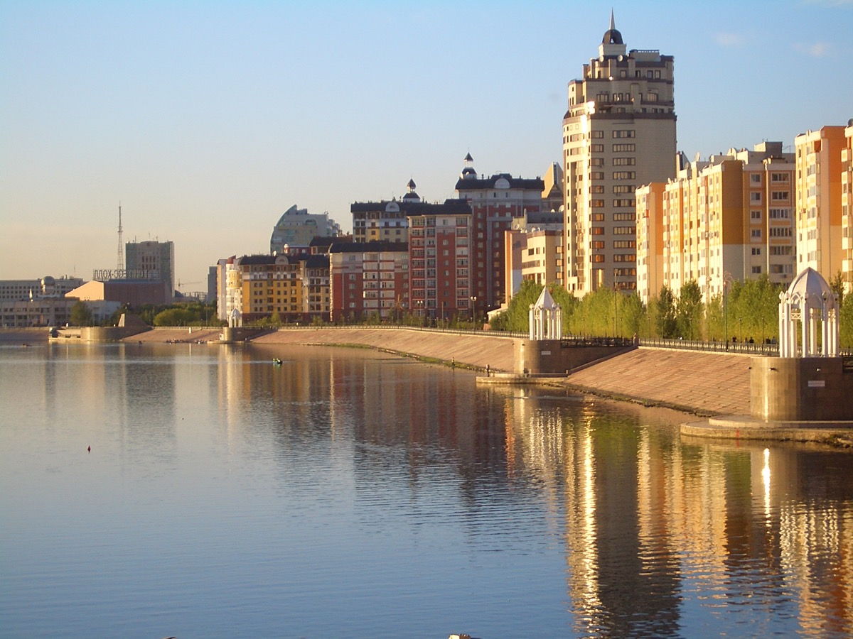
Photo: Vmenkov, CC BY-SA 3.0 / GFDL — фото 2007 года, застройка с тех пор сильно изменилась · source
The embankment is where Astana takes off its business suit: in summer, cyclists and boat enthusiasts enjoy a marked two-way cycling path, while in winter an ice skating rink is set up along with snow slides and an ice town. The busiest section is opposite the Central Park, where musicians and street vendors gather in the evenings, and a walk along the water with views of the glass towers of the left bank is one of the most atmospheric free routes in the city.
The main developed section stretches approximately 15 kilometers — from Tulpar Bridge (which connects Turan and Saryarka Avenues) to Karaotkol Bridge. The river divides the city into the historic right bank and the new left bank, which was developed after the capital's relocation in 1997 — and the embankment literally connects the two faces of Astana. Reconstruction and landscaping of individual sections continue throughout the 2020s, so the appearance changes from season to season.